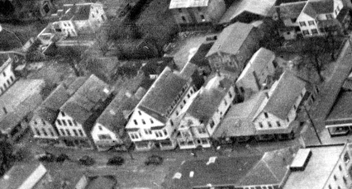
Detail from the 1947 Aerial Photo.
(Photo taken by pilot Walter Hume Renear.)
(North is right.)
Main Street, Vineyard Haven,
Mass.:
Centre Street to Church
Street
Site 27 - Coffin's Corner Store / Chadwick's / Vincent's Paper Store
Site 28 - H. S. Howes / Frank Swift's / Vineyard Dry Goods
Site 28 1/2 - The Police Office Alley
Site 29 - W. W. Douglas' / Cottle's Hardware / Ernest Tilton's Hardware / Vineyard Dry Goods
Site 31 - Coye's Jewelry Store / L. E. Briggs / Tobin's / Holmes Hole (coming soon!)
Site 32 - S. C. Luce's Store, The Post Office, the Phone Company, and Cape & Vineyard Electric
| |
Detail from the 1947 Aerial Photo. (North is right.) |
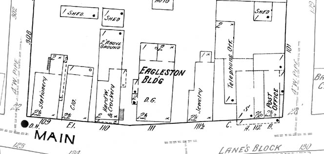 |
Detail from the 1914 Sanborn Map. (North is right.) |
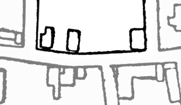 |
Detail from an 1888 Real Estate Map, after the fire. (North is right.) |
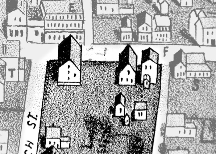 |
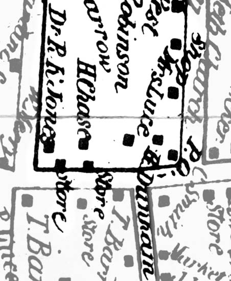
Detail from the c. 1886-87 birdseye illustration by George H. Walker & Co. (North is left.) |
 |
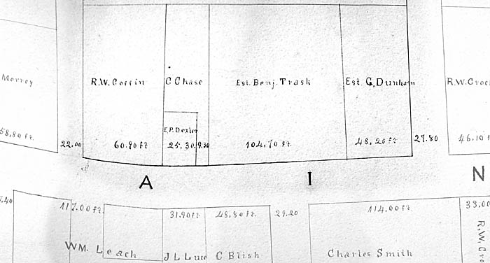
Detail from an 1883 Assessors Map, after the fire. (North is right.) |
 |
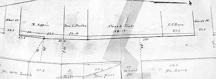
Detail from an 1873 Assessors Map, before the fire. (North is right.) |
 |
Detail from the 1858 Walling Map, before the fire. (North is right.) |