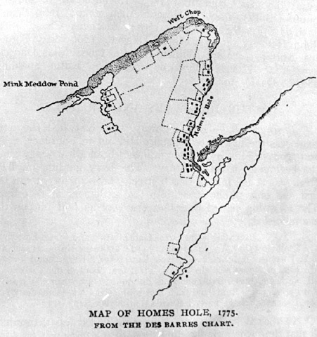


Caption: "Map of Holmes Hole, 1775. From the Des Barres Chart."
From Banks' "History of Martha's Vineyard."
Can you identify any people, things, places, or events in this photograph? How about the time period? Or do you know where this photo came from? Email me at cbaer@vineyard.net.
Date: 1775
Location: Vineyard Haven - -
Keywords: maps; charts